
AllTrails links
September 30, 2026 UPDATE
After three years of planning, partner coordination, and trail improvements, the Red Butte Quarry Loop Trail is now complete!
Originally envisioned as a maintenance project for trails in the lower George’s Hollow area, the effort evolved into creating a well-signed hiking loop that celebrates both the natural beauty and rich history of Salt Lake City’s foothills.
Working alongside the University of Utah, U.S. Forest Service, Salt Lake City Public Lands, and the Utah State Historic Preservation Office, the project shifted from maintaining individual trail sections to creating a single, clearly defined loop that highlights the area’s historic sandstone quarries and surrounding landscape.
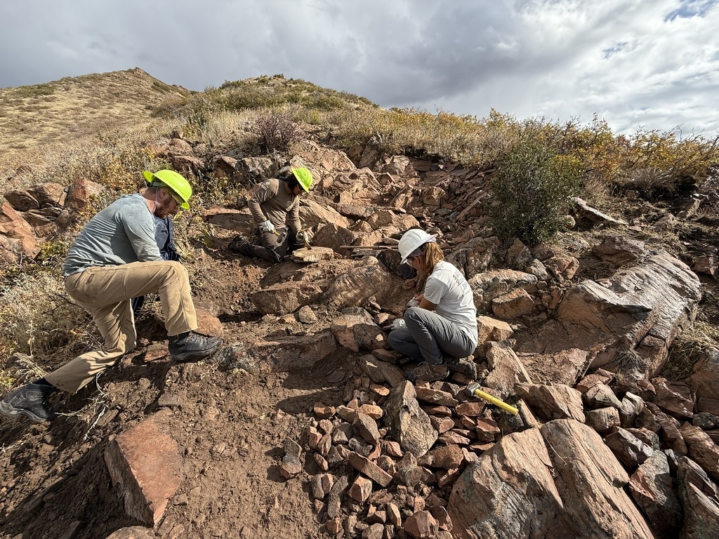
Throughout 2025 and 2026, American Conservation Experience (ACE) crews completed extensive trail improvements, including widening trail tread, improving drainage, stabilizing rocky sections, restoring user-created shortcut trails, and reducing erosion. The completed project also includes wayfinding and interpretive signage, along with fencing to help protect the historic stone wall and loading dock where sandstone was once prepared for transport into the Salt Lake Valley.
The Red Butte Quarry Loop Trail is a hiking route in the lower Living Room / George’s Hollow area above the Natural History Museum of Utah.
The project focused on improving existing trails, reducing erosion, adding wayfinding, and helping trail users stay on the designated route. Today, visitors can enjoy a well-signed hiking loop that highlights both the natural beauty and historic sandstone quarries of the area.
The trail also passes through a historic sandstone quarrying area with visible features tied to the area’s early use, including old roadbeds, quarry sites, and the stone loading dock. After meeting with the Utah State Historic Preservation Office, the project name was updated to Red Butte Quarry Loop Trail to better reflect the historic resources along the route.
New interpretive signs throughout the loop share the story of the area’s historic sandstone quarries, wagon roads, local ecology, and wildlife, helping visitors better understand the landscape they’re hiking through.
This long-overdue maintenance and renovation project includes 2.5 miles of previously constructed trails, including the lower part of the popular Living Room Trail. Sections of trail follow historic road beds that were constructed for sandstone quarrying over a hundred years ago. Although heavily used by the public, these trails have not been consistently maintained or signed, resulting in a spiderweb of erosive user-created trails in the area.
The completed trail renovations and new wayfinding signage make the loop easier to follow while helping protect the surrounding foothills by encouraging visitors to stay on designated trails.
Two of the trails we will be working on are identified as USFS “System Trails.” These are the George’s Hollow Trail and the Skyline Trail. Both trails provide access to the Living Room Trail. Together these two trails create an excellent 45-minute hiking loop that will now be referred to as the Red Butte Quarry Loop Trail.
Better establishing these trails and adding wayfinding signage will help hikers and runners stick to intended trails, instead of wandering off onto unsanctioned user-created trails. Over time, these unwanted user-created trails will hopefully fall into disuse, preventing further hillside scarring and erosion. These two trails are hiking and running trails only and not suitable for mountain bike use. The rugged, rocky nature of the terrain in this area and steep grades make these trails better for hiking. This area is identified as hiking-only in the Foothills Master Plan and falls in line with desired management goals for the University.
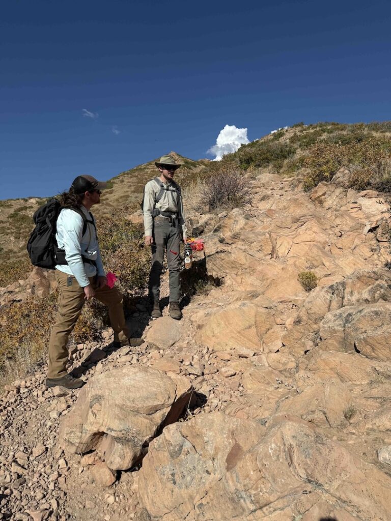
The project was completed using trained American Conservation Experience (ACE) hand crews who performed heavy trail maintenance while preserving the existing trail alignments.
The project also includes the development and installation of wayfinding signage. All trail work would be on the existing trail alignments and not involve trail reroutes. These trails are well above the Bonneville Shoreline Trail and below the main George’s Hollow Trail (aka Living Room Trail). These two trail alignments cross both University of Utah and US Forest Service property. We have worked with our University and USFS partners to develop the scope of this project. The Utah State of Historic Preservation Office has also reviewed and is in support of this project. They have expressed interest in erecting signage illuminating the mining and quarrying history of the area. Additionally, Salt Lake City Trails and Public Lands staff was consulted in planning for this effort and while they are not conducting work on this project, it fits within their goals for trail improvements in the Foothills Natural Area. Salt Lake City and the Historic Preservation Office will help with the wayfinding and interpretive signage part of the project as partners.
The existing trails are deeply incised, narrowed, and/or blocked by rocky outcrops. The specific trail tread work involved widening the trails to approximately three feet, breaking rock outcrops, and creating consistent outslope and grade reversals to ensure water drainage and minimize future maintenance requirements.
Wayfinding signage directs trail users to these purpose-built and maintained trails and will discourage the use of the erosive user-created trails. Interpretive signage will educate users about the history of the sandstone quarrying as well as the flora and fauna of the area.
In 2023 Trails Utah reached out to Salt Lake City, the University of Utah, and the USFS to propose renovating this very popular trail.
For the Red Butte Quarry Loop Trail project, TU acquired permissions from the U of U to work on University property and address needed routine maintenance. Salt Lake City Trails & Natural Lands, the entity overseeing improvements to the trails in the foothills, also approved the maintenance project. We continue to plan for Phase II of the project on US Forest Service land, that will reroute a section of the Upper Living Room Trail as well as improvements to existing trails.
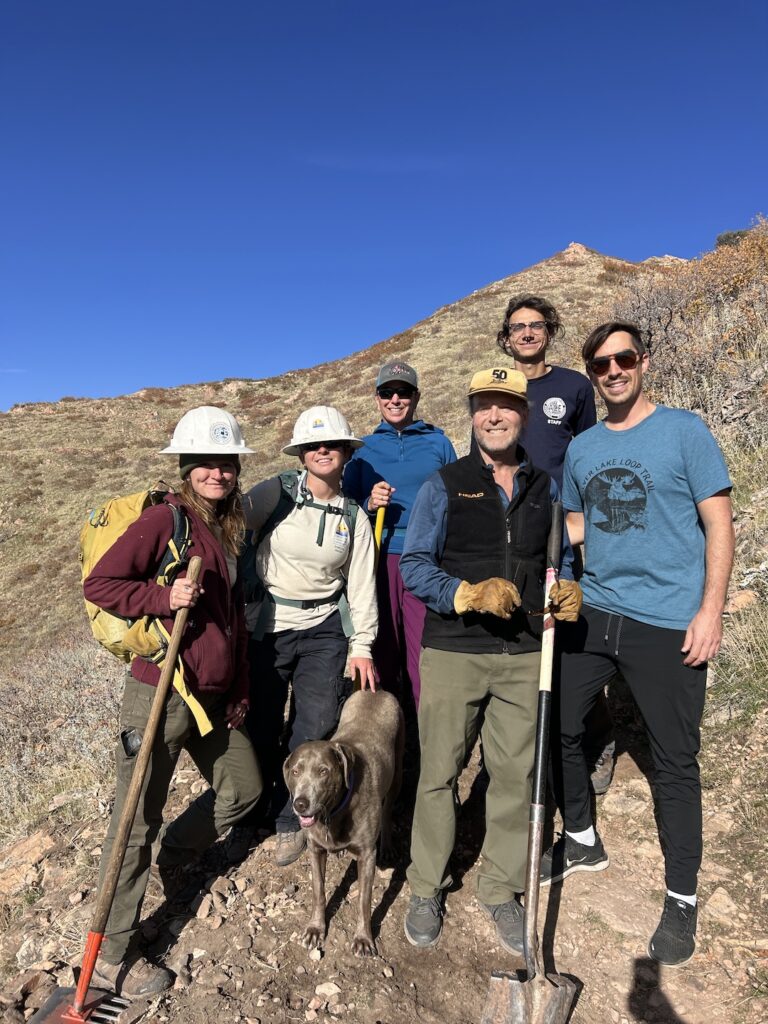
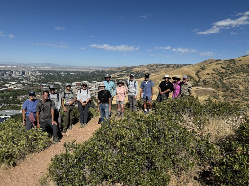
A massive thank you to our funders and partners on this project!
Funders:
Partners:
There is plenty of street parking along Colorow Road. The Natural History Museum and Red Butte Gardens are just northwest from the parking area. The trail is narrow, following an old wash for a section. It’s a good idea to download your map ahead of time because there are many trail intersections and off-shoots along this route. There is minimal to no shade on this route, so it is a good idea to come prepared with plenty of water during the warmer months.
While grants cover some costs, donations and membership dollars are crucial for ongoing planning and environmental reviews. Consider supporting Trails Utah through donations or becoming a sustaining member.
