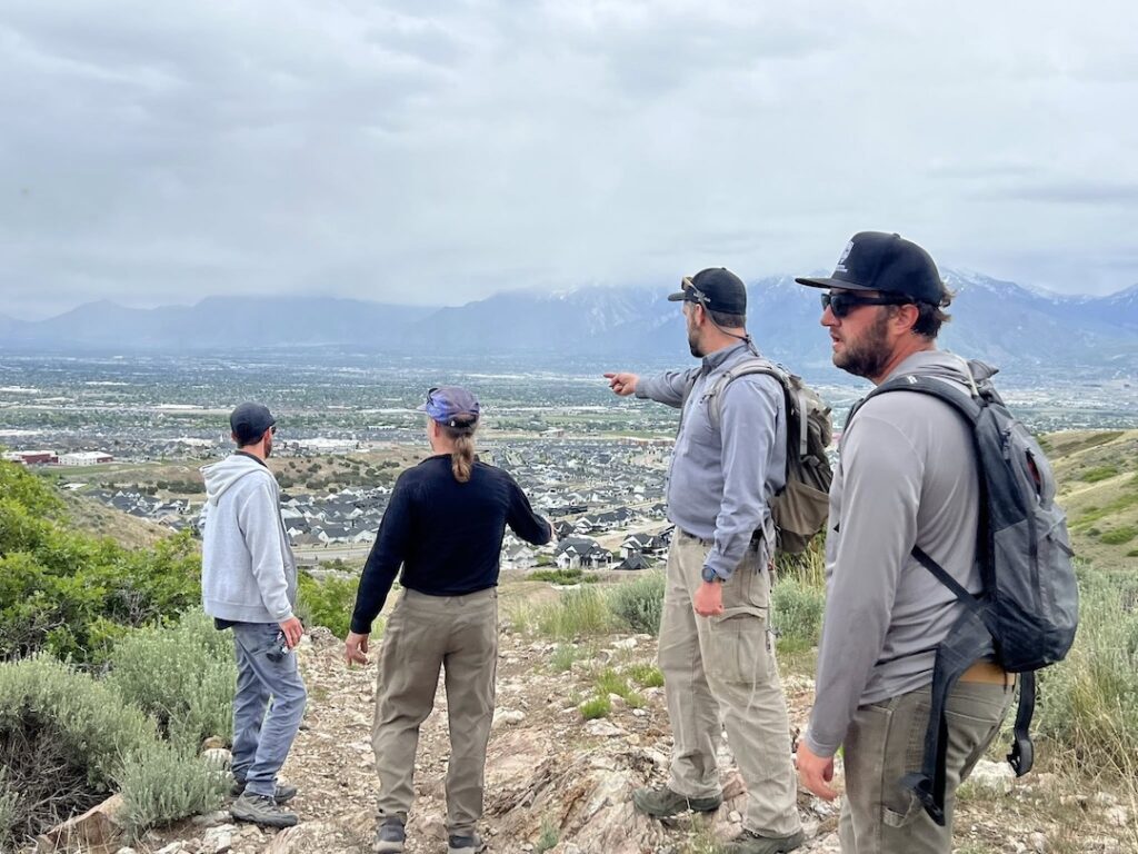
At the southern end of Salt Lake Valley, the Herriman Hills are home to sweeping views, quiet ridgelines, and a key connection point in the long-envisioned Bonneville Shoreline Trail (BST). In partnership with Herriman City, Trails Utah is building a new one-mile segment of the BST that helps close the gap between the Wasatch and Oquirrh mountain ranges.
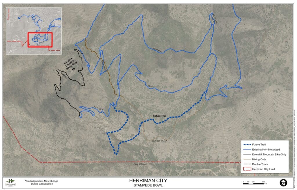
This trail will link east and west sections of Eric’s Trail near Blackridge Reservoir, creating a continuous multi-use route that expands the Herriman trail system and moves the region one step closer to a fully connected BST across the Wasatch Front.
Construction on the trail started in late August ’25, with the trail’s grand opening taking place in May ’26. Traversing through the gambel oak, this BST section will have grade reversals and small rollers to help with drainage, and a wide tread to accommodate a wide variety of trail users.
What is the Bonneville Shoreline Trail?
The BST traces the ancient shoreline of Lake Bonneville—a prehistoric lake that once filled the Salt Lake Valley. You can still see the high benchlines it left behind, now dotted with gravel and scrub oak. These geologic remnants are the foundation for a visionary trail that will one day stretch over 280 miles across Utah, connecting dozens of communities.
The new Herriman segment is a critical piece of that vision. It improves local trail access while advancing a regional trail system designed to serve hikers, bikers, runners, equestrians, and Class 1 pedal-assist E-bikes.
Trails Utah's Role in the Herriman BST
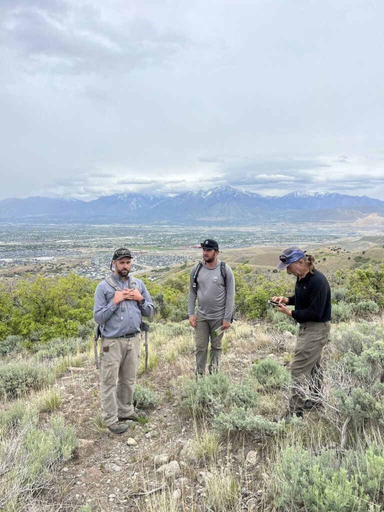
Since 2019, Trails Utah has worked with Herriman City to build out a thriving network of trails, including MoJo and Hardlick.
For this BST project, we secured funding through the Salt Lake County TRCC grant program and are helping coordinate construction efforts with Herriman City and Forestry and Trails Solutions.
This is a true connector trail—not just to the broader BST, but also within the Herriman system. Once complete, it will offer a scenic ridgeline experience above Blackridge Reservoir and add new loop options for trail users.
getting to the Herriman BST
The best way to access this section of the Herriman BST will be via Blackridge and Eric’s trail from the Blackridge Reservoir Trailhead in Herriman City. Please look at parking restrictions on the Herriman City website as there is no neighborhood parking and the trailhead has paid parking on weekends.
Another access point is at the Juniper Crest Trailhead. Parking is along Juniper Crest road.
Herriman BST trail details
Region: Herriman City
Distance: 1-mile to get to the BST via Eric’s Trail from Juniper Crest road. It is about 1.5 miles from Blackridge Reservoir Trailhead
This segment represents one more step in linking neighborhoods to nature—and linking communities to each other. Trails Utah is proud to support Herriman City in shaping a trail system that benefits locals and advances the larger vision of a connected Wasatch Front.
While grants cover construction costs, donations and membership dollars are crucial for future Herriman City trai planning and environmental reviews. Consider supporting Trails Utah through donations or becoming a sustaining member.