
a strategic planning toolkit to guide completion of the BST
The Bonneville Shoreline Trail Strategic Planning Toolkit is a two-year project led by Trails Utah to map, coordinate, and prioritize the work needed to connect the BST across northern Utah.
This toolkit supports cities, counties, land managers, and trail partners in their efforts to close the remaining gaps in the Bonneville Shoreline Trail system.
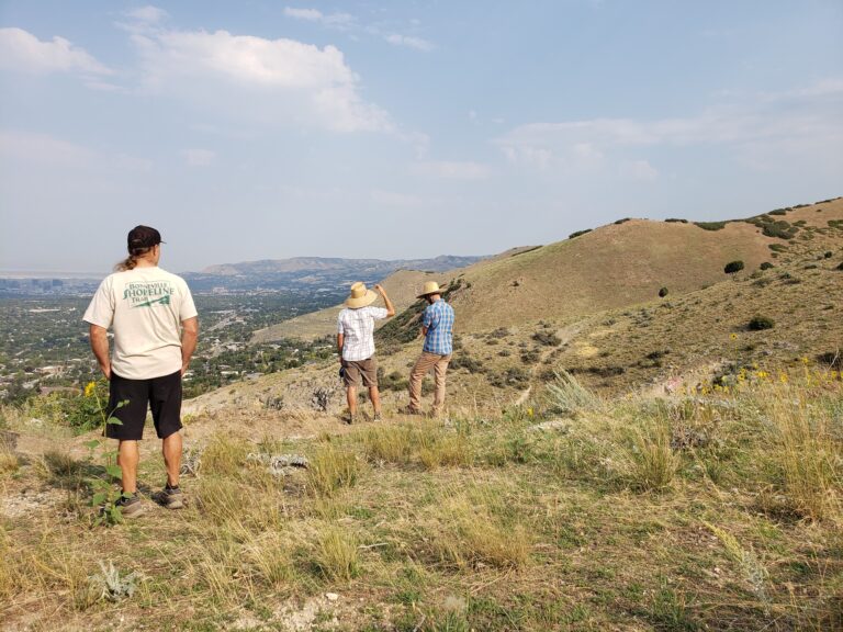
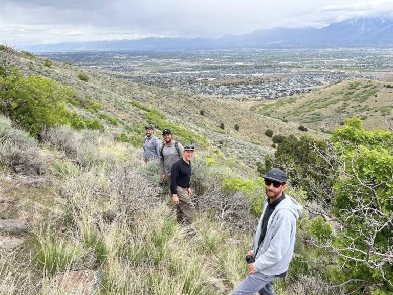
The Bonneville Shoreline Trail (BST) is Utah’s iconic foothills trail—beloved by hikers, runners, dog walkers, and mountain bikers up and down the Wasatch Front.
Today, about 173 miles exist, but the long-term vision is a fully connected 280-mile trail.
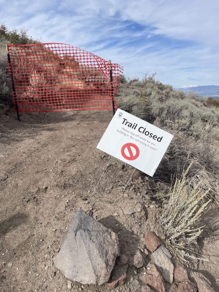
Even with decades of progress and strong community support, the BST still exists in disconnected sections all along the Wasatch Front.
The reason is simple: connecting a trail of this scale requires coordination across many land managers, jurisdictions, and private landowners—plus years of behind-the-scenes planning work before any construction can begin.
Trails don’t appear overnight. Before a single mile can be built, teams often need to:
confirm a buildable alignment
coordinate with land managers and local governments
work through environmental and cultural considerations
secure access, agreements, and funding commitments
For the BST, planning has historically been one of the biggest bottlenecks—not because people don’t want the trail, but because the information needed to move forward is scattered, incomplete, or outdated.
The BST Strategic Planning Toolkit is a shared planning resource that brings the BST corridor into focus—so cities, counties, land managers, and trail partners can make faster, better decisions about how to connect the remaining gaps.
Trails Utah is leading this effort with Trust for Public Land (TPL) and Kinesava Geographics to gather the vast amount of BST data and organize it into an accessible, usable toolkit.
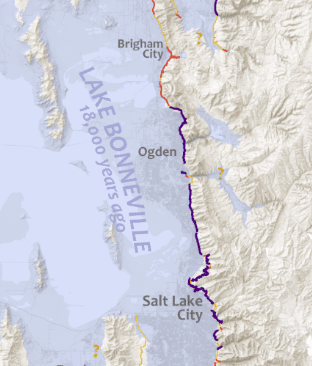
At the core of this project is a detailed GIS (mapping) database that compiles the key layers needed to plan and prioritize BST connections. These include (in plain language):
Official BST alignments: where the trail is currently verified/managed
Land ownership + access conditions (easements, leases, seasonal closures, etc.)
Current gaps that prevent the trail from being continuous
Terrain + construction constraints (slope, soils, geology, major obstacles)
Sensitive areas + special designations (wildlife areas, wetlands, cultural areas, etc.)
Existing “social trails” that may be candidates for formal adoption
Planned trail segments found in local/regional planning documents
Trailheads + access points (official and unofficial)
Signage locations + needs (markers, kiosks, gaps)
Existing agreements + legal documents—so institutional memory isn’t lost
We’ll also use the data to support a prioritized list of BST projects, using a “low-hanging fruit” approach (most connection for the least time/cost), guided by factors like connectivity, demand, current status, land cost, approvals, and construction difficulty.
In 2026, this project is about building the planning foundation needed to unlock future construction. Our work will focus on:
Collecting and verifying datasets from partners and public agencies
Filling critical gaps (especially legal agreements and signage—some may require field verification)
Building and testing the mapping layers so they’re consistent and usable across jurisdictions
Beginning the prioritization work so partners can focus on the most achievable connections first
The BST Strategic Planning Toolkit will create a shared roadmap for completing the trail, including a comprehensive map of the corridor, clear documentation of existing and planned segments, and a prioritized list of future connections to guide planning and funding decisions.
Specific deliverables include:
A comprehensive planning map for partner agencies and stakeholders
A data catalogue that helps cities/counties/trail groups work from the same set of facts
While the Bonneville Shoreline Trail is not yet continuous, many key segments already exist and form the backbone of the future system.
Here are a few BST sections Trails Utah has helped bring to life:
As planning continues and gaps are addressed, these segments will eventually link together into a single, connected trail.
This planning effort brings together organizations with deep experience in trail planning, mapping, and land conservation.
Trails Utah is leading the project and coordinating across agencies, communities, and partners to help move the Bonneville Shoreline Trail forward.
Trust for Public Land provides GIS expertise and national experience in large-scale trail and open space planning.
Kinesava Geographics, led by Brandon Plewe, contributes decades of research and mapping focused specifically on the Bonneville Shoreline Trail.
Donor dollars support the “behind-the-scenes” work that makes the toolkit real and usable—coordination, research, data gathering, relationship-building, and project management.
This is exactly the type of planning and implementation support that donor dollars are designed to make possible.